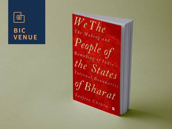
Maps and Milestones - The Making and Remaking of India’s Internal Boundaries
Details
Dec 02 2022 to Dec 02 2022 7 p.m.
EVENT HAS ENDED
Where
Bangalore International Centre
7 4th Main Rd, Stage 2, Domlur 560071
Event Description
India’s internal boundaries have changed from the first map of Independent India published in 1947 to the 2019 edition in which the Union Territory of Ladakh is now the crest of India. The fact that none of the nine provinces of the Dominion of India (as well as the 562 princely states that existed in August 1947) are reflected on the map of India in the seventy fifth year of its independence, speaks volumes about the nation’s ability to negotiate its political and administrative boundaries with its citizens. While the process of reimagining India through its constituent units – the states – has, on occasion, been due to administrative requirements, most restructuring of internal boundaries is marked by aspirations, assertions and adjustments of linguistics and/or ethnic groups seeking their place in the state and federal polity. Sanjeev Chopra will discuss the reorganisation of states in the country on the basis of regional, ethnic and linguistic aspirations as well as administrative imperatives. He will engage in a conversation with Mr. S.K. Pattanayak, which will be followed by a Q&A.
Upcoming events in Bangalore International Centre